James and Greg's Adventures
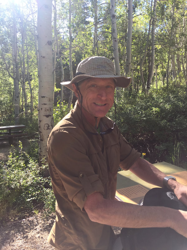
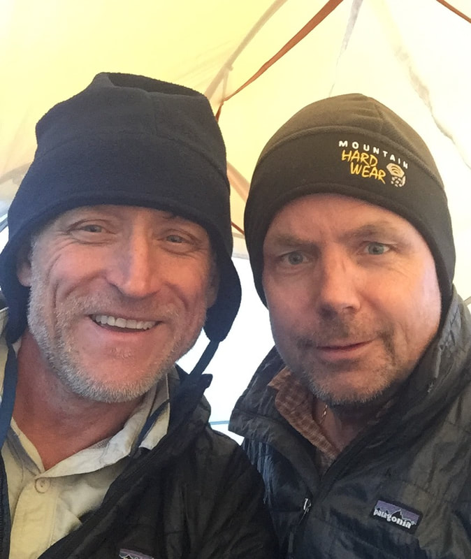
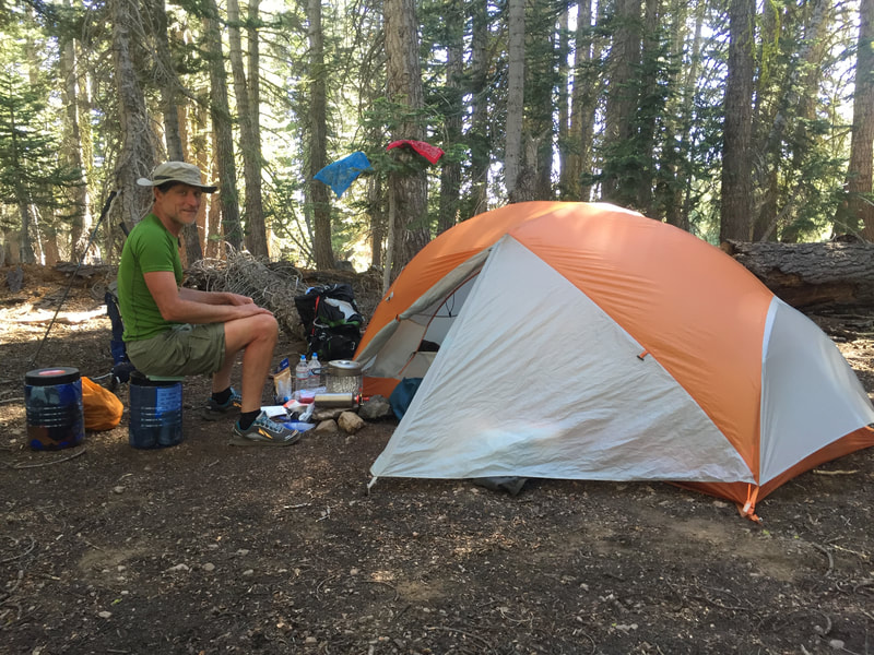
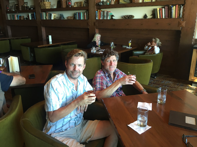
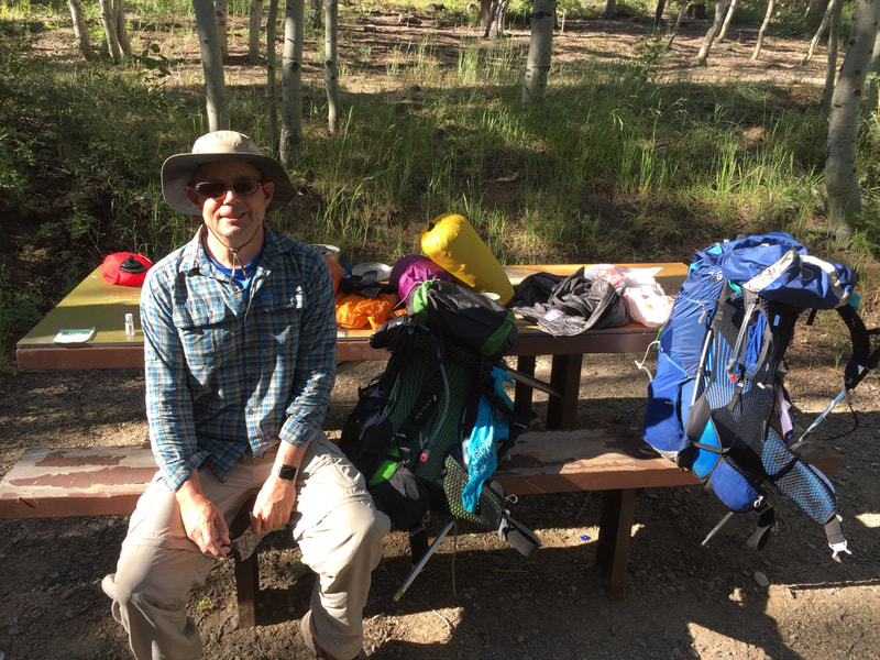
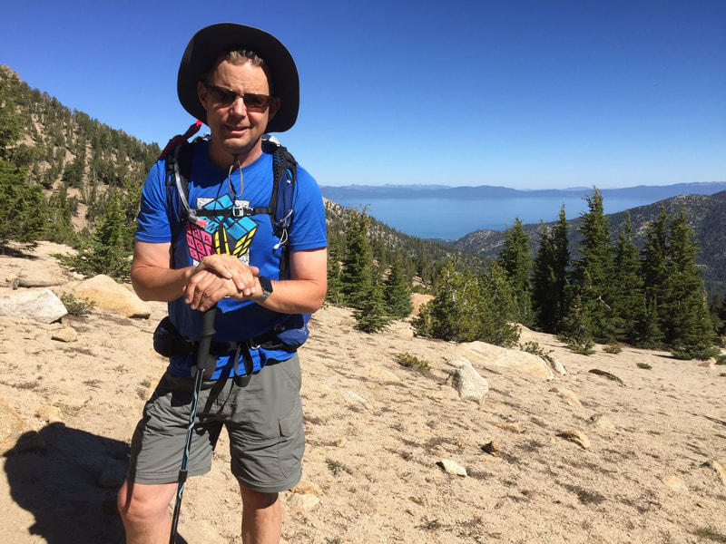
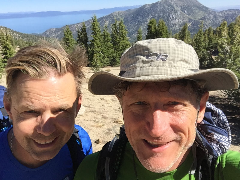
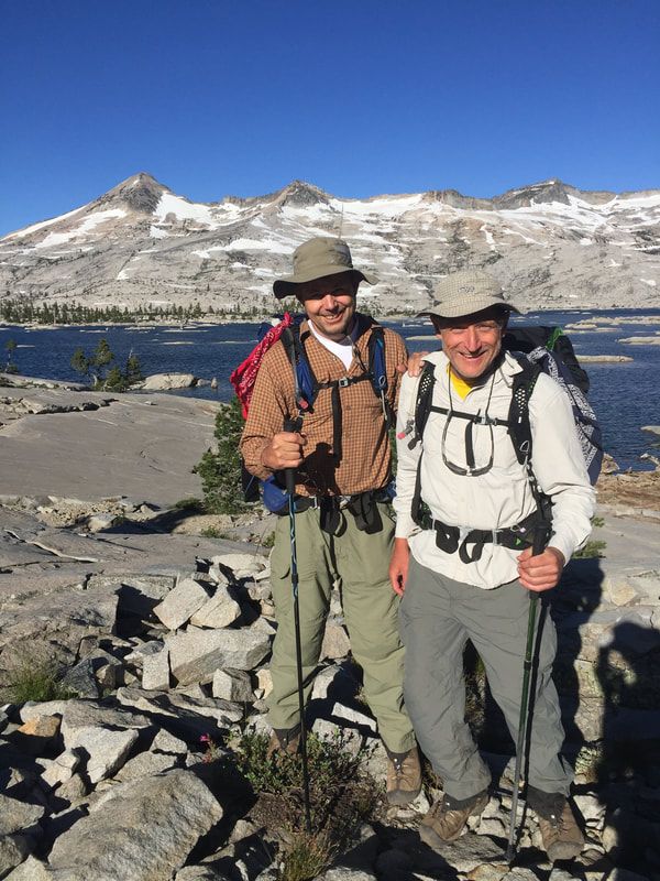
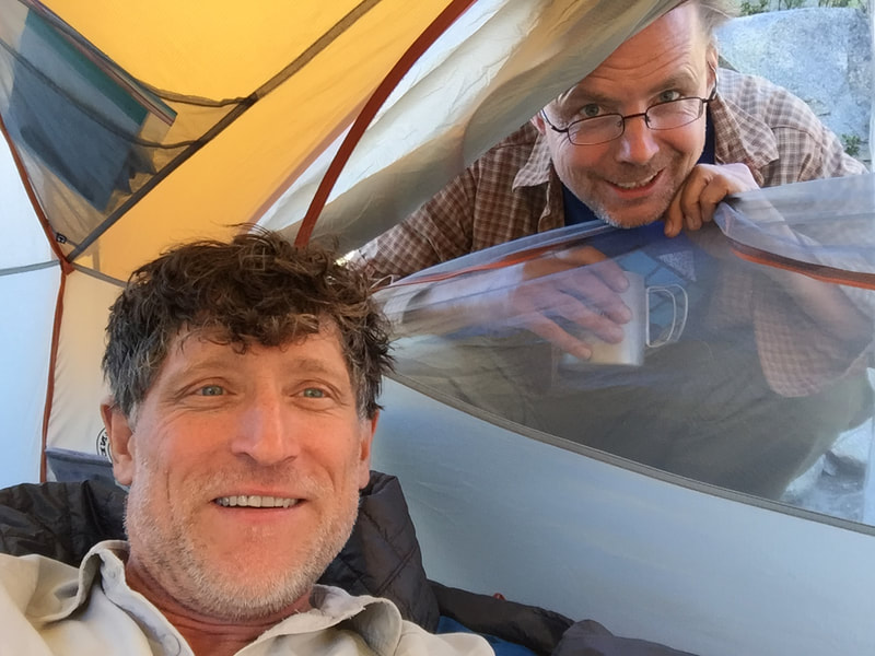
We are Greg and James and welcome to our trekking page! We live in Pleasanton, California and have a love hiking and other outdoor adventures. Below are links to summaries of some of our adventures throughout the years. Starting August 25, 2021 we will begin hiking the Camino De Santiago which is a 500 mile journey/pilgrimage starting in Saint Jean Pied de Port in France and ends at the Cathedral in Santiago de Compostela in Spain. To follow our adventure, please click here: Blog
To see your daily post see our Blog. This will be updated daily.
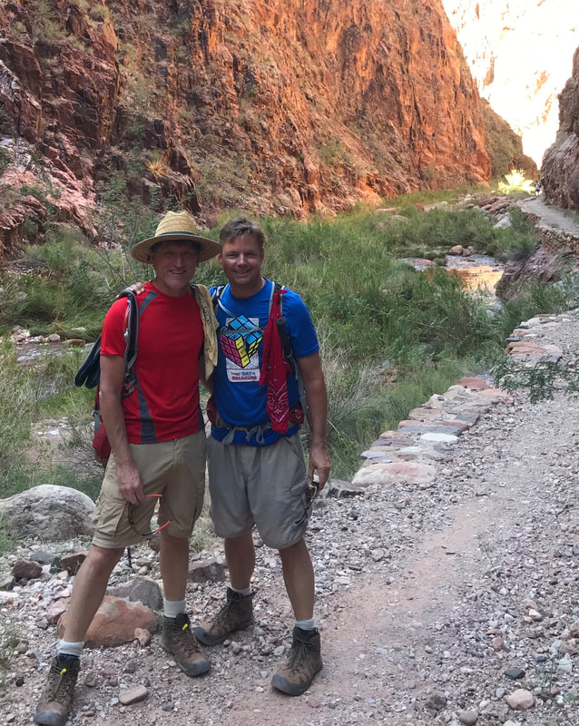
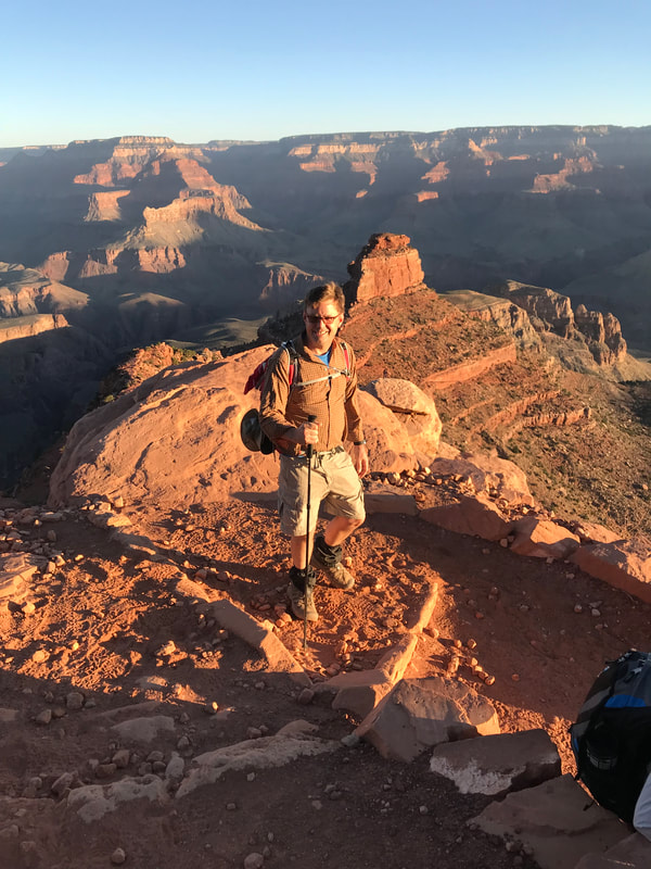
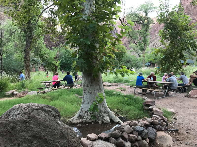
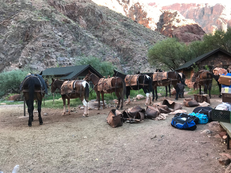
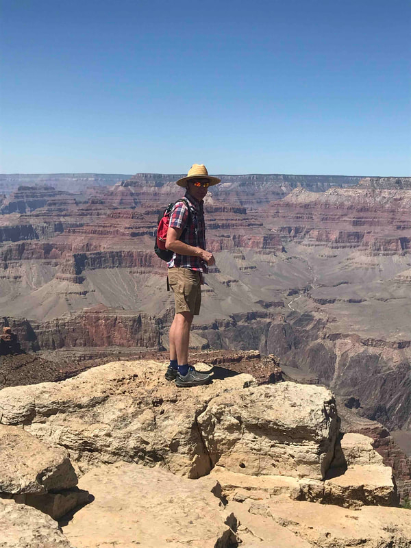
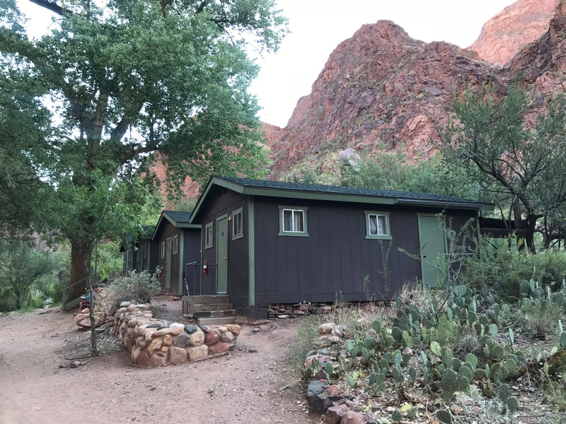
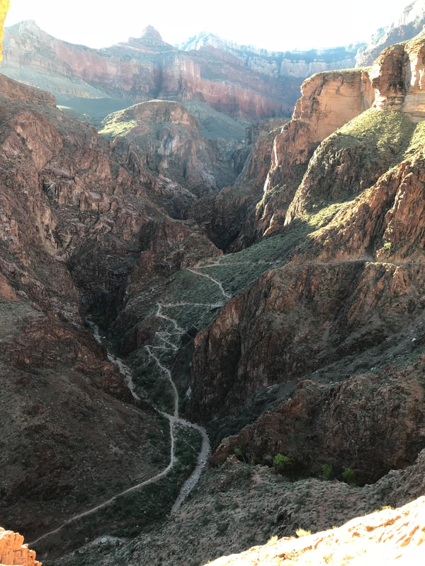
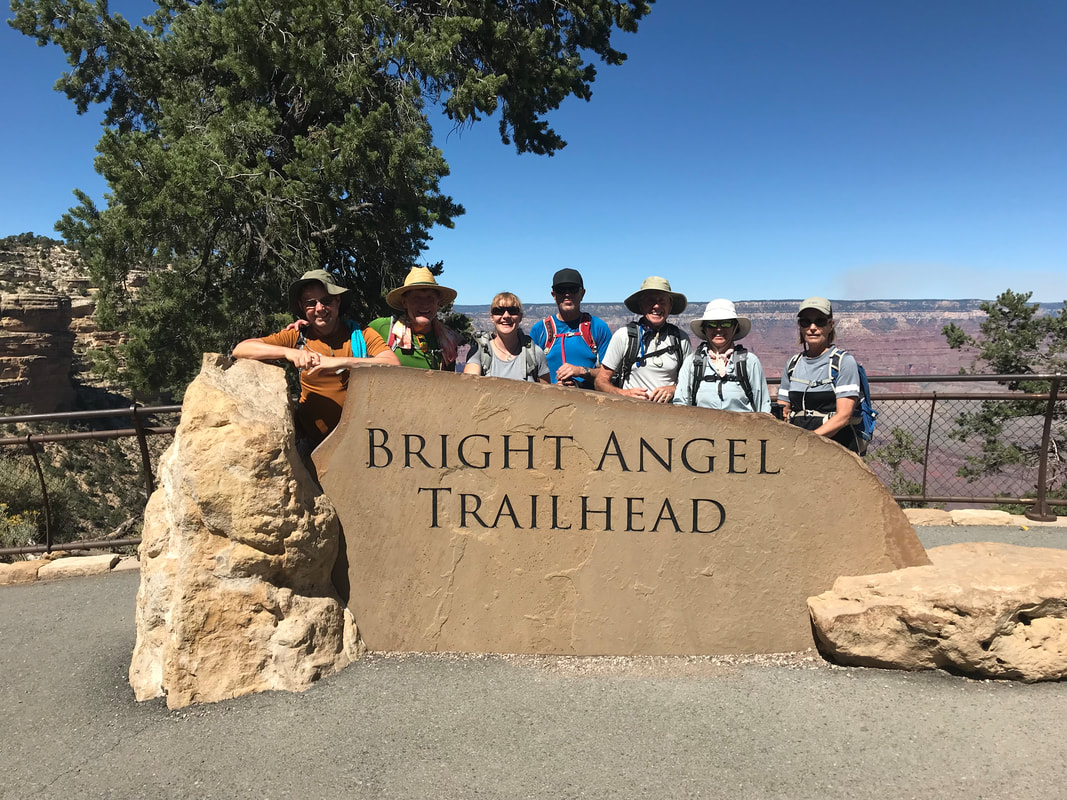
.Greg's bucket list included a hike in the Grand Canyon and we checked it off the list in September of 2018. As we were both busy at work, we did not have the time to do much planning and coordination, so we booked a trip through Wildland Trekking Company. The trip included the park entry fee and required passes, a guide, meals, and a two night stay at the Phantom Ranch at the bottom of the Canyon. We hiked down the famous South Kaibab trail to the Phantom Ranch. Having a layover day at the bottom of the Canyon gave us a chance to explore the area with our guide and even had the opportunity to swim under waterfalls. We also got to participate in some ranger lectures on the history and the flora and fauna of the Canyon. On the last day we hiked to the South Rim via the Bright Angel Trail. As we typically hike on our own and at our own pace, it took some getting used to hike more slowly to accommodate the others in the group. But slowing down allowed us to enjoy the beautiful scenery which made it a very special trip!
TBD to be updated with trip information
Embark 1/9/18 and then debark back on 1/19/18
Embark 1/9/18 and then debark back on 1/19/18
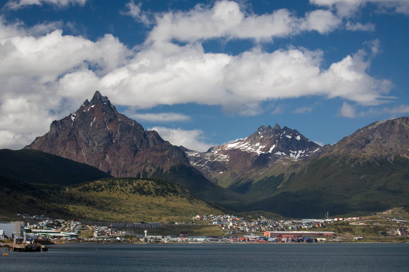
Day 1 - Ushuaia
Ushuaia Text TBD
Yankee Text
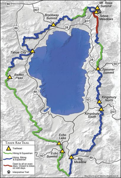
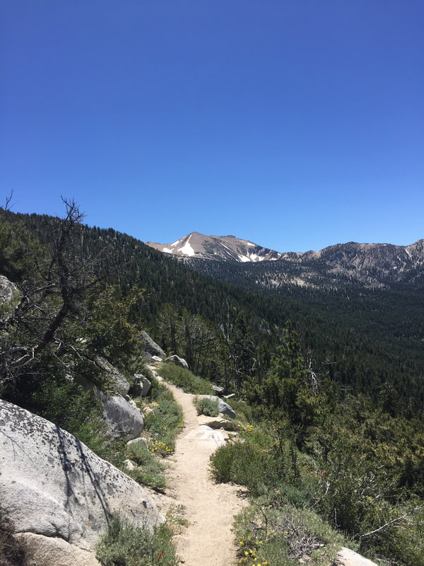
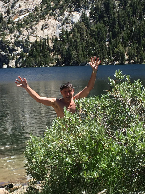
Growing up in Northern California we have been frequent visitors to Lake Tahoe. We've rented houses, stayed in hotels, and done a lot of three of four day backpacking trips in the Desolation Wilderness. In July of 2016, we decided to really explore the area by hiking the Tahoe Rim Trail. This is a 170 mile trail that forms a loop around the Lake Tahoe basin and we decided to do it as a 13 day through hike.
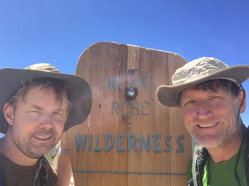
A week before the hike, we stopped at various locations along the trail and stashed bear boxes which would be used to resupply us along the way. We also arranged with a friend to resupply us at Echo Lake. We started the hike at Tahoe Meadows and circled the lake in a clock-wise direction and ended the trail at Mount Rose. It was an incredible trip, but reinforced for Greg that backpacking is a lot of work! There is a reason his trail name is Ritz.
Jan 3, 2012 to Jan 21, 2012
Link to Greg and Jim's Kilimanjaro Itinerary
Link to Greg and Jim's Bag List of What We Are Taking
Link to Greg and Jim's First Aid Kit
Our Touring Company We Used (Good Earth Tours)
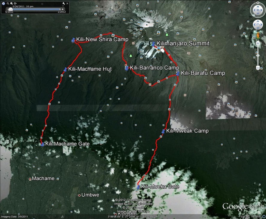
Kilimanjaro Satellite Image and Weather
Kilimanjaro Trip Report
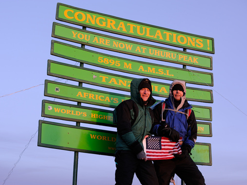
We traveled to Tanzania, Africa in January of 2012 with the hopes of climbing Kilimanjaro via through the Machame Route. The summit of Kilimanjaro, Uhuru Peak, is 19,340 feet above sea level. It is the highest mountain in Africa and is the world’s tallest free-standing mountain. There are five different climate zones on the mountain and each has its own set of unique factors (temperatures, altitude, rainfall, and expose to sunshine). The five zones are: Lower Slopes, Rain Forest, Heath and Moreland, Alpine Desert, and Summit. Just imagine - you start the trail in a rain forest and five days later you are walking next to glaciers!
Through a recommendation from friends, we had selected Good Earth Tours as our outfitter. We also booked a safari and trip to Zanzibar through Good Earth, but the trip report below describes only the Kili hike. We originally thought there would be another two people joining us, but after receiving an orientation from Good Earth the night before heading out, we found out it would be the two of us. Supporting us would be a team including: a guide (Herment), an assistant guide, a cook, a porter/server (Stanley), and seven porters.
During the orientation we had decided to pay extra for a dining tent which included a table and chairs. This was one of the best decisions we made. It was a great place to escape the rain, but also a comfortable place to hang out once we arrived in camp.
Hikers carry all of the gear they need for the day in their daypack. This includes water, snacks, and additional layers of clothing to keep warm. The porters carry everything else. We provided three duffel bags which included our sleeping bags, therma-rests (air mattresses), extra clothing, and any other needed equipment/supplies. The porters carry the duffel bags, tents (provided by Good Earth), food and other supplies, plus any of the gear they need for the week.
A great deal of planning and preparation went into this trip. Naturally with a goal this big, there was also some anxiety. Would we avoid any accidents? Would we have all of the equipment/supplies needed? Since a cold could prevent you from summiting, would we stay healthy? Would we get altitude sickness? The night before heading out, Greg realized we had prepared as much as we could, and what was important now was to live in the moment. He wanted to experience what the mountain had to offer. He kept a journal to remember the details of the trip and how they both felt as they forged ahead. To best experience the mountain, we had to live in the moment. He thought, “Leave your worries behind.” Hakuna matata.
Friday, 1/6
Herment and a couple of the porters picked us up at our hotel in Arusha at 8:30 am. It’s almost a two hour trip to the Machame gate. Along the way, we stopped to get some supplies and also to arrange for some additional porters. At the gate, we signed in and provided our traveler information. While Herment and the team prepared for our departure, we hung out in a hiker waiting area. The temperature at the gate was 75º F and it was overcast. Prior to departure, we could hear the crack of thunder and it began to rain.
We put on our ponchos, covered our packs, and started the hike up the mountain. The advantage of the poncho over a rain jacket was that it provided ventilation, which is helpful when it if 75º. Within moments, there was lightening, and it began to pour. We have never hiked in rain like that, but it is a rain forest and it was not unexpected. This section of the trail was not difficult. The foliage was lush and the canopy overhead was alive with the sounds of various birds. We arrived at the Machame Camp at 3:30 pm. The hiking time was three hours and 13 minutes. The altitude at camp was 9,904 feet.
Each day when we get into camp, the porters set up our tents and delivered our duffel bags. We were responsible for unpacking the bags and setting up our sleeping areas. Our cook provided popcorn and hot beverages each time we got into camp. For dinner we usually had pasta or rice, a sauce, and a protein. The first night we had fish, pasta, potatoes and a vegetable curry. It was pretty tasty!
Before the sun set, the clouds cleared and we could see the summit. The nice thing about the Machame route is that it is quite scenic, and each night we could clearly see the upper portion of the mountain. When we went to bed, it was about 50º.
Saturday, 1/7
We woke up at 6 am and Stanley arrived at our tent with cups of coffee. We started to organize our gear and then Stanley came to let us know it was time for breakfast. Breakfast usually included toast, porridge, scrambled eggs, sausage, and freshly sliced tomato and cucumber. Prior to leaving camp each morning, we were also given a lunch which we loaded into our pack. Lunch typically included a piece of chicken, potato chips, nuts, fruit, and a piece of chocolate. It was usually eaten on the trail.
We started on the trail at 8:30 am. This section was not too difficult either, but a little steeper than yesterday. We were out of the rain forest and in the heath and moorland zone. The temperature was cooler than yesterday and the trees of the rain forest were replaced with giant heathers.
We arrived at New Shira Camp at 12:00 pm. The elevation was 12,604 feet and the total distance so far was 9.8 miles. We took off our packs and Herment lead us on a short hike to a higher elevation to facilitate acclimation.
To consolidate waste, the National Park provides and maintains outhouses at each camp. Because of the number of porters and hikers, the outhouses are frequently used and, well, pretty nasty. Essentially, there is a hole in the floor, with planks on which to place your feet while you squat and aim. And let me tell you, a lot of people have lousy aim. It’s not pleasant. Some hikers opt to pay for an additional porter to haul a personal porta-potty and tent. We did not select this option. And instead we braved the public potty with fingers crossed and breath held.
As we retired to out tent at almost 7:00 pm, the temperature was 45º, but with the wind it felt much cooler.
Sunday, 1/8
We left camp at 8:10 am. Because it had been taking us awhile to pack up, we woke up at 5:30 am. This day’s hike was to the Barranco Camp. At 13,008 feet, it actually isn’t much higher in elevation than New Shira. But along the way, we took a detour to the Lava Tower to help us acclimate. The Lava Tower is at 15,272 feet.
The hike toward Lava Tower was not too steep. When we reach around 14,500 feet, we stopped and noted that we are higher in elevation than we have ever been. Last year we hiked Mount Whitney, and we were passing the height of its summit. It was hard to believe it, but we actually had 5,000 feet to still go to reach Uhuru peak.
We had lunch at the Lava Tour which gave us about 45 minutes before we headed down to the lower elevation. After lunch, we started the descent into Barranco. One of the first Swahili phrases we learned was “pole-pole,” which means slowly. To help with acclimation, the guides do not want you to ascend to quickly, so you go pole-pole. On the way into Barranco, we learned that pole-pole does not apply to downhill. We tend to go slower downhill so that we do not have any accidents. Plus, downhill is murder on your knees. The guides think that if you can run uphill, you can run downhill.
As we got closer to Barranco it became misty and the vegetation changed dramatically. We saw the Senecio Kilimanjari which looks like a cross between a saguaro cactus and a banana tree. As the leaves die, they do not fall off the plant. Instead they create a coat that help keeps it warm at the higher elevation. There are also lobelia that close up at night to help keep them warm. These plants are only found at this zone on Mount Kilimanjaro.
We arrived at Barranco at 1:25 pm. The total mileage so far was 16.88 miles. There was a fog going through camp and the temperature was around 45º. One the features that stood out was the Barranco Wall. It is pretty imposing looking from camp, but we’ve heard it is not as difficult to climb as it looks.
After dinner Herment talked to us about the summit. He said, “You guys are in great shape and I have no doubt that you will make it.” We really appreciated the confidence boost.
Monday, 1/9
We left Barranco just before 8 am. We knew this day’s hike included a lot of uphill, downhill, and then uphill again, but it was more difficult than we thought it would be. The wall wasn’t hard, but what we didn’t realize was that the Karanga Valley was steep downhill. Greg slipped off of a rock and landed in a position that caused some back pain. But Naproxen helped a lot and he hardly felt it the next day.
We arrived at Barafu, or base camp, around 2:00 pm. The elevation was 15,210 feet and we hiked a combined 22.74 miles. Tomorrow is summit day and so there was a lot to do to get ready for it. We talked to Herment about what clothing we needed. These were his recommendations:
-Feet: Two layers – sock liners and thick wool socks
-Legs: Long underwear and ski pants
-Upper body: T-shirt, long underwear, long sleeve shirt, fleece jacket (with hood), rain shell (he packed our down jackets in case they were needed, but they were not)
-Head: Balaclava (and hood on fleece jacket)
We will be waking up at 11:30 pm with the plan of hitting the trail at 12:30 am. The goal is to rest (not sleep), have dinner at 5 pm, and then go to sleep. We got about four hours sleep. As planned, they wake us up at 11:30 pm and we have breakfast. Time to head out.
Tuesday, 1/10
We got on the trail at 12:45 am. Because there was a full moon and clear sky, we did not need to use our head lamps. We drink water from camelback style bags. Because it is so cold, we were instructed to blow the water from our hoses back into the bag after we drink. If you don’t do this, the water will freeze. The climb is steep, but is nothing that we have not experienced before. Everything was going as planned. Jim then said he could not drink because water froze in his hose. He began to drink from Greg’s – no problem.
About four hours into the hike, we both started to experience some effects of the altitude: light headedness, headache, and we were not as sure-footed as we were before. The trail seemed to get steeper with no end in sight. We just kept thinking, put one foot in front of another. Greg shared with Herment that he was not feeling well, but said, “If I have to crawl, I will make it up this damn mountain.”
About an hour from the summit, Greg’s water hose froze. We were both now without water.
When we got to Stella Point, the trail was not as steep. The sun had not yet risen, but the sky was getting lighter. We could see glaciers to our left and we both started to get excited knowing we were not too far from meeting our goal.
We arrived at the summit at 6:15 am and the sun was just rising. Realizing we made it, we both started to cry. This was the hardest thing we have ever done. We are tired, but realize we still have to descend about 9,000 feet before this day’s hike is over.
There were about 30 people at the summit and they all gathered around the sign that marks the spot. Photo op! Jim pulls out his American flag and we wait our turn. Herment takes a couple of pictures of us. We took a few moments to look around and experience the moment, and then started the long slog down.
Once we left Stella Point, our symptoms worsened. We felt terrible. The trail was steep and we slipped a lot. Quite a few times Greg felt dizzy and told Herment that he needed to stop to rest. Herment said, “We need to get you down the mountain. Once you drop elevation you will feel a lot better.” Greg knew he was right and he got up and did his best to get down to base camp as quickly as possible. We also think that because our water hoses froze, we became dehydrated, which exacerbated the altitude sickness symptoms.
Once we got there, we felt much better. But there was no time to rest. We still had to break-down camp and then hike another 5,000 feet down to Mweka Camp. On just four hours of sleep, this was a really difficult day. We were asleep by 6:30 pm.
Wednesday, 1/11
This was our last day on Kilimanjaro. We woke up at 5:00 am and felt so much better having slept soundly through the night. The trail down to the Mweka Gate was pretty easy compared to the previous couple of days. We were back in the rain forest. Because the trail wasn’t too steep and we were excited about getting off the mountain, we went at a pretty quick pace.
Once off the trail, we signed out at the ranger station and Herment gave us our official certificates of completion. We then piled back into the van, and they drove us back to our hotel in Arusha.
Overall, the trip was amazing. We both thought Good Earth Tours did a great job organizing and executing the climb. Our guide was terrific. Not only was he concerned about our safety, but he was also very knowledgeable about the mountain. He provided a lot of information about the trail, and was also able to answer any questions we threw at him. We highly recommend Good Earth Tours.
Here are some pictures from Greg's iPhone.
Friday, July 22, 2011
We left Sacramento at 6:00 am and drove highway 50 toward South Lake Tahoe. We took Highway 89 towards 395. We made it to Mammoth around 10 am. We did a little shopping, got a bite to eat, and then drove over to the gondola. As part of our acclimation plan, we took the gondola to the top of Mammoth Mountain which is 11,000 feet. We stayed on the top of the mountain for a few hours, and then headed down to Lone Pine.
We arrived in Lone around 4 pm and went to the visitor center to pick up the permits. The ranger confirmed that the Horseshoe Meadows trail was a great acclimation hike for the next day.
We then checked in at our hotel, the Comfort Inn. It was a standard motel room, but it had a refrigerator and microwave oven that were useful. Mary-Lou, Kathy, and Jenn checked in a little later, and we met up with them and had some wine before dinner. We had dinner at the Mount Whitney Restaurant. It was family run restaurant that wasn’t fancy, but had hearty food. We had a great time visiting with the team and sharing expectations about the hike.
Saturday, July 23, 2011
We met the team in the motel lobby around 8 am and met up with Mary-Lou’s dad. We drove over to Horseshoe Meadows which is southwest of Lone Pine. The start of the trail was 10,050 feet. The purpose of this hike was to get some altitude in to prep for the Whitney hike the next day. The hike was relatively flat, but we ascended to around 10,540 feet. The trail was nicely maintained. We crossed streams and meadows. We hiked three miles and turned around. Our goal wasn’t mileage, but altitude.
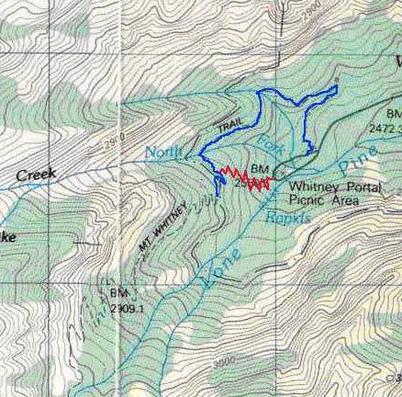
After the hike, we drove over to Whitney Portal so that we knew how to get there and also familiarize ourselves with where to park. Because we had concerns about the water crossing on the north fork of Lone Pine Creek, we asked Dick to show us where the Old Trail was. It was past the Portal store where the road turns. There was a big granite rock and tree log, and the trail started right there.
After checking out the Portal Store, we then drove back to Lone Pine. When we returned to the motel, Jim and I went through our packs and lists and made sure everything was ready for the next day. We decided we did not need our thermal bottoms, which ended up being the right decision. The goal was to have everything ready so that when we woke up, we already had our hiking clothes out and our packs ready to go. We filled our water bladders up that night.
We also started taking Diamox. We needed to take three tablets the day before the hike, and another three tables on hike day. Diamox is used to help with altitude sickness.
Sunday, July 24, 2011
We woke up at 1:45 am. We had a breakfast of oatmeal with blueberries, a banana, and coffee. We met the girls in the parking lot at 2:30 am and drove to Whitney Portal. When we arrived and pulled into park, there was a black bear standing on his hind legs with his front paws on the car parked next to where we were pulling in. As soon as he saw us, he scampered with a look on his face like, “My bad! Let me get out of your way. I’ll just wait over here.” After our hike, one of the employees from the Portal store said that bear comes out every morning between 2 am and 3 am, when hikers start arriving. Typically, the hikers pull out their packs, set them on the ground, and then head to the restroom. The bear waits for this so that he can then steal their packs. We didn’t fall for it. When one of us went to the bathroom, the other one stayed with the packs.
We got on the trail at 3:15 am. We found the Old Trail with no problem. With headlamps on, all five of us started going up. Once we joined the main trail, our group split up. Jim and I hiked together, and Mary-Lou, Kathy, and Jen hiked together.
The headlamps worked really well. It was not difficult to make our way through the dark. We could see the headlamps of hikers below us as we navigated up the switchbacks. Jim and I stopped for a short five minute break at 10,000 feet to help with acclimation. Our goal was to take a break every 2,000 feet. After the break, we continued forward. The sun was just starting to rise, and we walked through Outpost Camp where there were a number of campers getting ready to head up the trail. As we started up the switchbacks, we took off our headlamps as the sun was providing enough light.
We crossed some streams, but did not have too much trouble with them. Past Mirror Lake, there was snowfield that covered the trail. There was a path heading to the left that confused us for a bit, and we had a little bit of trouble finding the trail. Jim had his GPS, so it didn’t take long to find it.
We got into Trail Camp around 8:00 am. Jim filtered water and filled our bladders. We had each consumed about 1.5 liters by that time. We filled them completely at 3 liters each. As we were heading out of Trail Camp, we came across Mary-Lou, Kathy, and Jenn. We said hi, and pointed them to where they could filter water. With that, Jim and I headed up the 99 killer switchbacks.
I counted up to 10 and gave up. The switchbacks weren’t too bad, they just seemed endless. There is a section that stays somewhat shaded and is notorious for snow and ice, even in the summer months. There were cables that allowed you to negotiate the area with a bit of safety. There was snow, but there rocks were exposed next to the cables, so we walked in that area.
At the top of the last switchback was a snowfield that Greg had been worrying about. It was probably 50 feet in length. There wasn’t really a trench you walked in. The snow covered trail was somewhat flat on the downhill side and you could easily slip off the trail and slide down the mountain 1,600 feet into rocks. We used our poles to navigate the snowfield and took it slowly. I did not look down the mountain but kept focused on the trail and where to next place my poles and feet.
At Trail Crest, we took a 10 minute break and enjoyed the views. It was pretty breezy and cool, and we put on our Frogg Togg jackets. I started getting nervous on the trail from Trail Crest to the summit. We were between 13,500 and 14,000 feet, and from what I read, this is where most people got altitude sickness. But we didn’t have an issue.
We had one more snowfield to cross. It took me by surprise. It was a long part of trail, but it had a trench to walk in and was not as treacherous as some of the others.
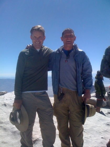
We made the summit at 10:35 am. We immediately took our packs off and took some pictures. We also signed the registry book.
We left the summit at 11:15 am. One of the things I noticed immediately is that I was not having much of an issue going downhill. Last year on Half Dome, my quads were really sore and I struggled on the downhill. This time? Not so much! We encountered Mary-Lou, Jenn, and Kathy on the snowfield on the backside of Whitney. They were probably 20 to 30 minutes from the summit, so we knew they would make it. We were really proud of them!
I ran out of water on the way back down the switchbacks. Jim did too. That means we each drank three liters from Trail Camp and back. Jim zipped down the switchbacks rather quickly to start pumping water. We filled our bladders half way, and then continued down the trail.
When we got to Trailside Meadows, Jim looked off to the side of the trail and saw a small cave with what looked like a big black garbage bag in it. He even noticed there was a red drawstring on the bag. Getting a little closer, he saw a face and red tag in an ear. That was a bear, not a garbage bag! As soon as he realized that, he turned around and quickly joined me down the trail.
Right before Mirror Lake, Jim asked if I was okay. My pace had slowed quite a bit and I was not as sure footed. I was getting tired! I realized I had not eaten very much on the trail and was running out of energy! We each had a bag of chips and within 15 minutes I got all of my energy back. I picked up my pace and we started really making good time.
Around 3:45 pm, we ran into Mary-Lou’s dad, Dick. He was worried that he did not see our cars in the parking lot and decided to head down the trail to see if he could find Mary-Lou. After a short visit, we headed down the trail and he continued up. Later, Mary-Lou told us they all met each other around Trail Camp. Even Dick hiked about 10 miles that day!
We took the Old Trail down, hoping to again avoid the Lone Pine Creek passing. Plus it just seemed to cut so much time off the trip.
We got back to the trailhead at 5 pm. We had hiked 22 miles and the 6,000 foot elevation gain and drop within 13 hours and 45 minutes. I had estimated we would do it in 15 hours, so we did much better than planned. At the Portal Store we ordered a beer, hamburger, and fries. As soon as we took a sip of beer, we noticed it seemed fizzier than normal and tasted a little off. We later determined this was a side effect of the Diamox.
It was a great hike. We were very proud that we made our goal in a shorter time than planned. We realized that our training routine played a big part in our success. We never got sore. Even the next day, our quads felt pretty good. On a soreness scale of 1 to 10, we thought we probably were a 2. It was so much easier than Half Dome the previous year, and it was the training that did it!
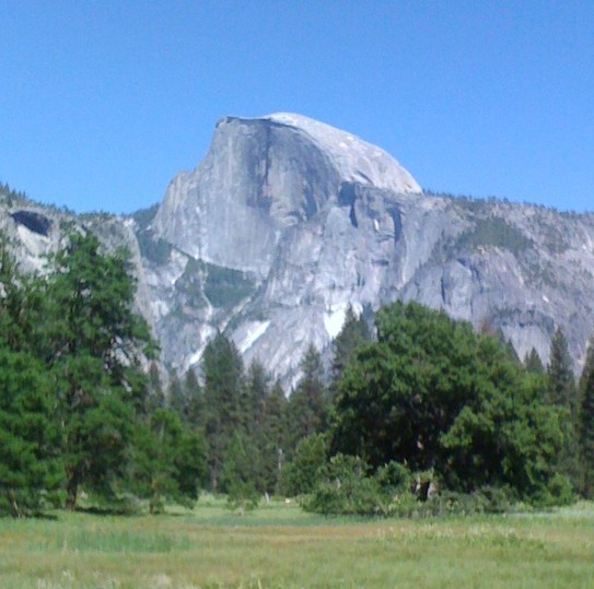
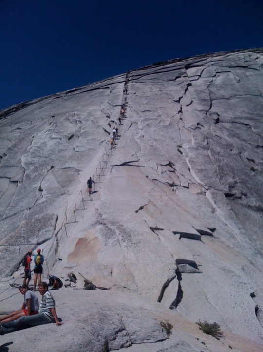
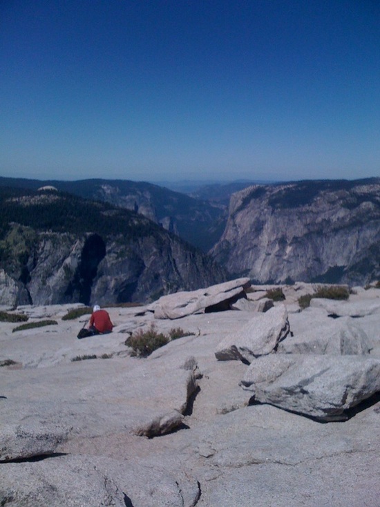
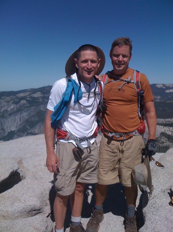
Here are some pictures from our Half Dome trip. Please note this section as well as the entire site is still under construction.
